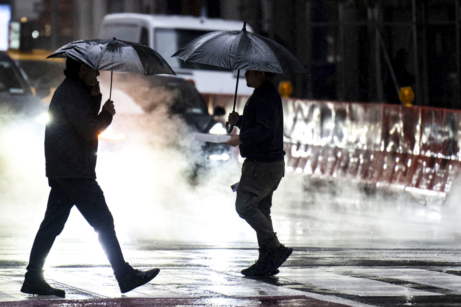
A powerful weather system battered the tri-state area with heavy rain and strong winds over the weekend, as a fast-moving storm blanketed northern New England with snow and plunged some 360,000 households in the Northeast into blackouts.
At 6 a.m. ET Sunday, more than 197,000 households in Maine, 81,000 in New York state, and 73,000 in New Hampshire were without power, according to PowerOutage.us, which aggregates live outage data.
“Keep you and your family safe if you lose power,” Robert Buxton, Director of the New Hampshire Department of Safety’s Division of Homeland Security and Emergency Management said Saturday night. “Crews are out and working hard to restore outages as they happen. If you come across downed wires, stay away and call 911.”
He recommended staying updated with phone alerts or by radio broadcast, using flashlights, rather than candles, for emergency lighting, and refraining from using gas stoves or ovens for alternative heat.
A flood watch went into effect Saturday morning for the New York City metro area through central and southern New Jersey. The storm was expected to dump up to 4 inches of rain on parts of the region.
Gov. Kathy Hochul urged New Yorkers to “stay off the roads, don’t crowd the plow and avoid downed power lines.”
The heaviest rainfall had been expected in the afternoon and early evening of Saturday, and minor flooding in low-lying areas such as roads and yards is possible.
By Sunday morning, footage showed the Northeast blanketed in snow, down trees in New York City, and flooded roads and highways across the region.
The National Weather Service had placed the New York City area under a wind advisory Saturday, with winds up to 25 mph expected throughout the region.
The weather agency cautioned that winds of that speed could cause flying debris, power outages and could send unsecured objects flying into the air.
Weather conditions caused major delays across New York City airports. Arrivals at John F. Kennedy International Airport were delayed an average of three hours as of 5 p.m. EDT, according to the Federal Aviation Administration. La Guardia Airport also experienced delays in arrival and departure flights.
Philadelphia already surpassed a daily rainfall record and is experiencing its wettest day in March since 1872, with 3.06 inches of rain, according to National Weather Service.
Elsewhere, a fast-moving storm is dumped snow across parts of northern New England. More than 30 million people from the northern Rockies and Upper Midwest through the central Great Lakes into New England were under winter alerts.
Light to moderate snow was expected for the Upper Midwest to the Great Lakes, where 2 to 7 inches will fall. In the northern New England area, snow as high as 12 to 18 inches is expected.
The Maine Emergency Management Agency said the storm could bring the largest snowfall of the season and urged motorists to use caution.
“Mixed precipitation in some areas will make for especially hazardous travel conditions,” the agency said in a post on X. “Check your local forecast for conditions.”
In the Twin Cities area, the storm could bring more than 12 inches. Combined with a 2.9-inch accumulation from a “teaser” snowstorm Thursday night and Friday morning, snow totals could exceed the 14.3 inches that had fallen in the previous season.
Meanwhile, a storm behind it swept down the California coast as it moved east, bringing ½ an inch to 1 inch of rain to the Bay Area. More than 6 inches of snow was also recorded in the Sierra Nevada mountain range, with the Heavenly Lake Tahoe resort reporting 10 inches of fresh powder Saturday morning.
In Oxnard, a city along the coast northwest of Los Angeles, a reading of .59 inches of rain set its modern record for rain recorded on this date. Same for Lancaster, a high desert city in Los Angeles County, which measured .53 inches of rain.
Orange and San Diego counties posted mostly smaller fractions of an inch of rain by the time the bulk of the storm passed Saturday evening.
The same front was moving east and forecast to bring “heavy snow and strong winds, and possible blizzard conditions to the Northern Plains and Upper Midwest through Tuesday morning,” the National Weather Service said in a forecast discussion.
From Kansas to Texas the storm could churn up scattered, severe thunderstorms on Sunday, the weather service said.


