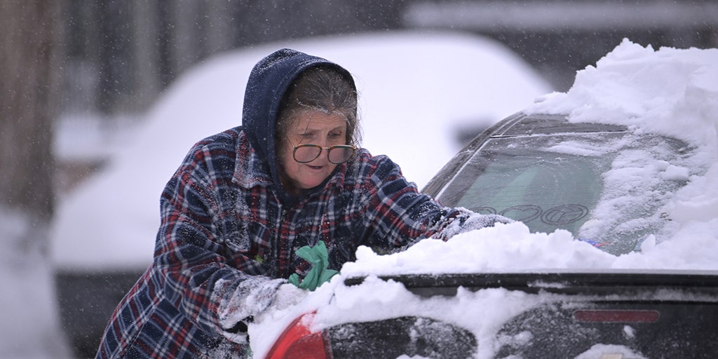
Green Bay, Milwaukee, Chicago facing tough Friday morning commute due to fast-moving winter storm
A fast-moving winter storm is zipping across the northern tier and is expected to bring several inches of snow to several cities in the Upper Midwest and Great Lakes, including Minneapolis, Milwaukee, Chicago and Detroit.
MINNEAPOLIS – Winter is making a strong return across the northern U.S. as a fast-moving storm zips across the region, spreading a swath of snow from the Dakotas to the Great Lakes on Friday.
The winter weather threat comes after the storm first impacted parts of the West and northern Rockies Wednesday, including Glasgow in Montana, which set a daily snowfall record after picking up 2.8 inches.
“If you look in through the northern Rockies, that is where you were able to squeeze out some pretty decent totals,” FOX Weather Meteorologist Marissa Torres said. “There were some avalanche concerns just a day ago. But noticing as we continue to head in through Friday, the snow continues to fall down. It continues to track to the east, and you could get some ribbons of very heavy snow in spots that didn’t see good snow this winter.”
The snow will be fast-moving, however, which should keep the accumulations manageable despite the intensity at which it could fall at times.
“I’m sure they always know how to drive in winter weather,” Torres said. “But they haven’t had a lot of practice this winter season. And sometimes that first one can be jarring.”
The forecast snow totals won’t be too high, but the precipitation could still lead to some travel issues on roads and highways in the region, like Interstate 35 and Interstate 94.
Minneapolis and surrounding communities like Stillwater, Cambridge and New Prague could receive 3-5 inches of snowfall.
Higher snow totals are forecast farther to the east in Wisconsin, with several cities in central and eastern parts of the state expected to pick up 5-8 inches, including Milwaukee, Madison, Oconomowoc and Port Washington.
Snow totals across the northern tier from the West through the northern Plains and into the Upper Midwest and Great Lakes will generally be in the 3- to 5-inch range, especially in southeastern North Dakota, central Minnesota and western Wisconsin.
But there is a swath of higher totals between 5 and 8 inches in southeastern Wisconsin and central Michigan that could slow drive times Friday.
Winter weather alerts have now been issued across the northern tier because of the storm due to heavy snow and the expected treacherous travel, including a Winter Storm Warning for portions of Montana.
But they aren’t all for the current storm, as another winter storm is expected to cross the region next week.
Winter Storm Watches stretch across northern Montana, but those are in place ahead of the more potent storm system over the weekend and into the first part of next week.
The Winter Weather Advisories, however, that are in place from the Dakotas to Wisconsin and northern Illinois are for this current fast-moving storm system.
Those Winter Weather Advisories are in effect for cities such as Bismarck and Fargo in North Dakota, Minneapolis, Mason City in Iowa, Milwaukee and Green Bay, Wisconsin.
After the storm cuts across the northern tier, it will enter the Northeast by Friday night.
And it’s going to be a mess.
A Winter Storm Watch is already in effect across portions of the interior Northeast and northern New England in advance of heavy snow from a combination of two systems – this one moving across the northern tier and a second system moving up the East Coast that will also bring heavy rain to southern New England and along the Interstate 95 corridor.
The FOX Forecast Center said the snow will overspread the region from west to east and quickly accumulate starting Friday night. Areas of heavy snow will continue on Saturday before winding down Saturday night.


